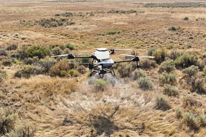
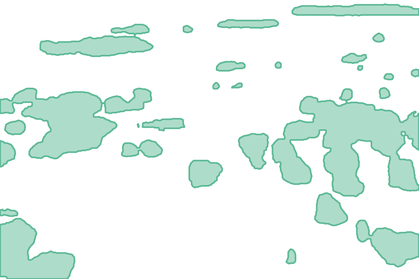
Precision targeted spraying
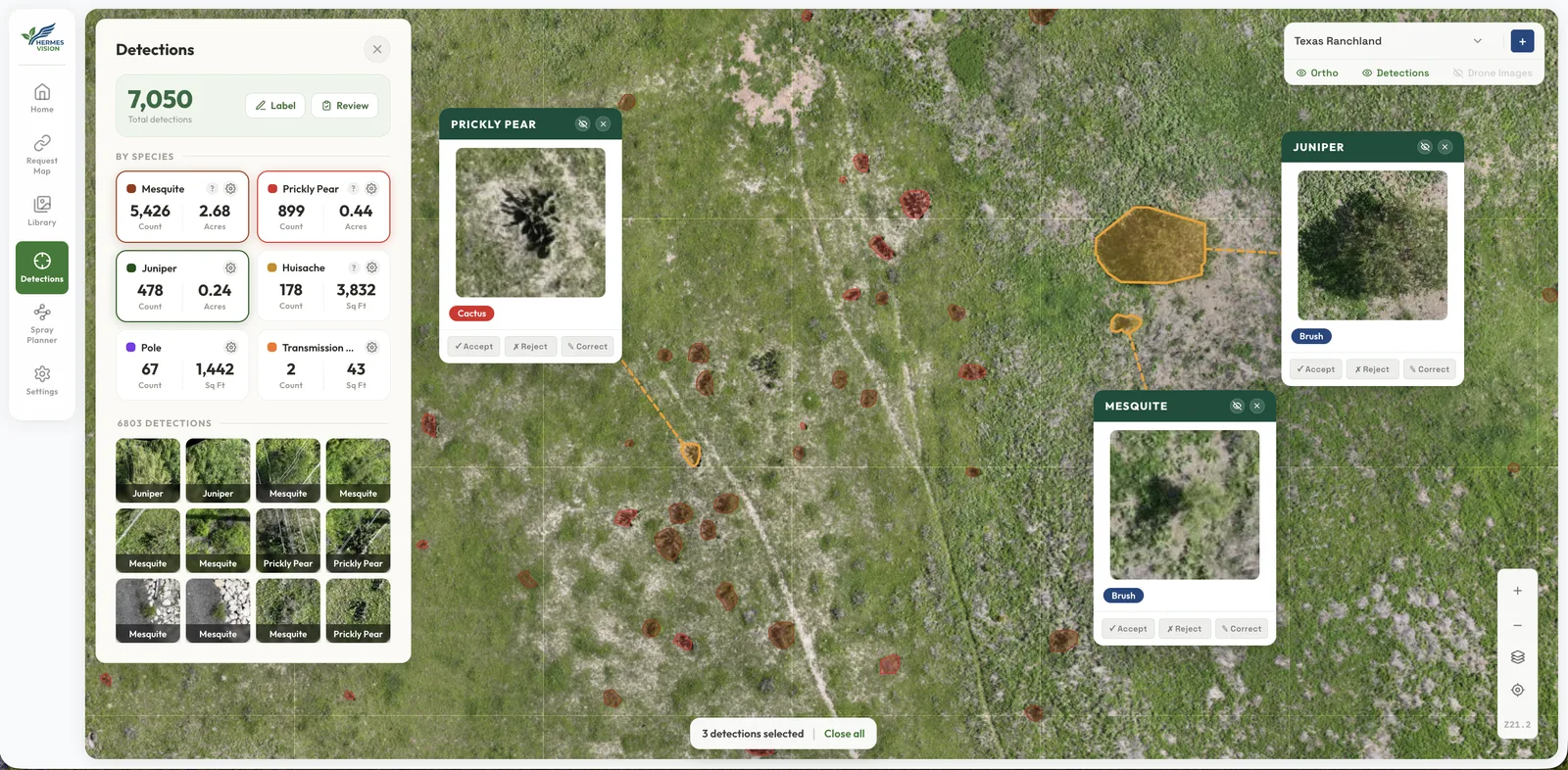
Treat only the species you choose, while steering clear of the power lines, waterways and homesteads you mark as obstacles.
Our focus is to turn aerial imagery into action.
Treat only the species you choose, while steering clear of the power lines, waterways and homesteads you mark as obstacles.
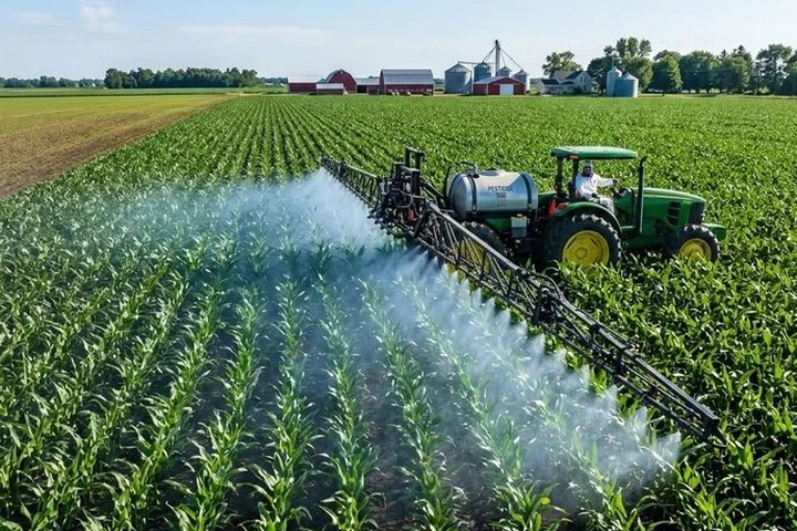
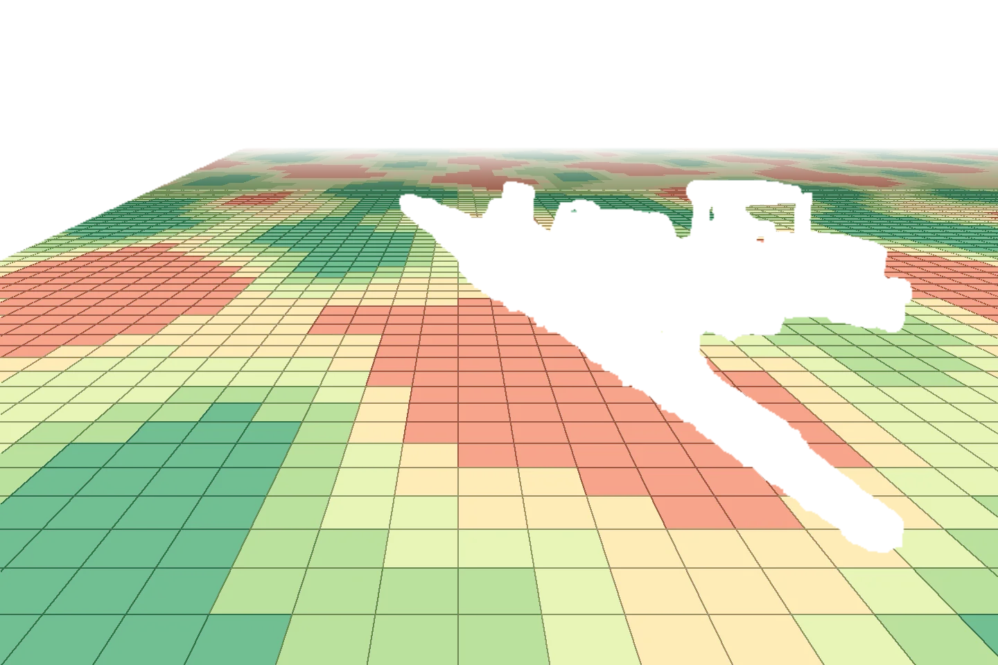
Not every acre needs the same rate. Set your own rate for each zone, up to seven per map, and put less on where less will do.
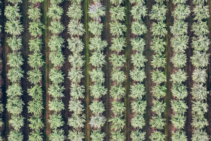
Track tree count, health and growth from above, covering ground that’s slow and costly to reach.
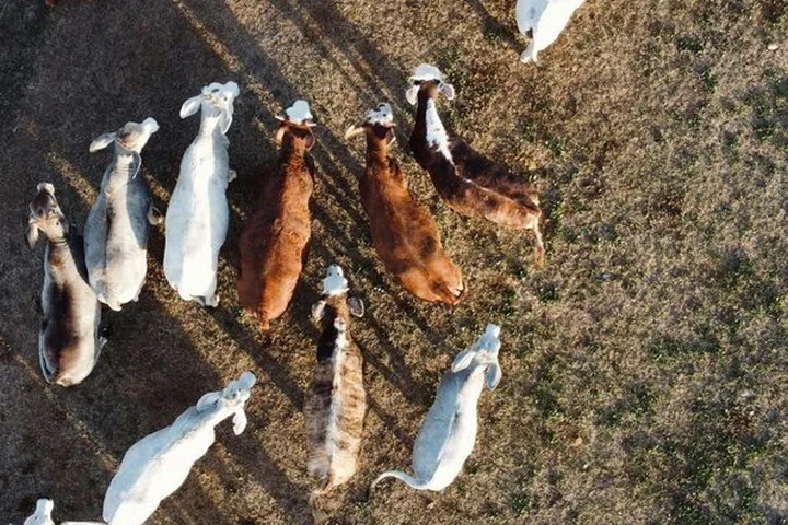
Locate and count livestock and wildlife across your whole property without a day spent searching.
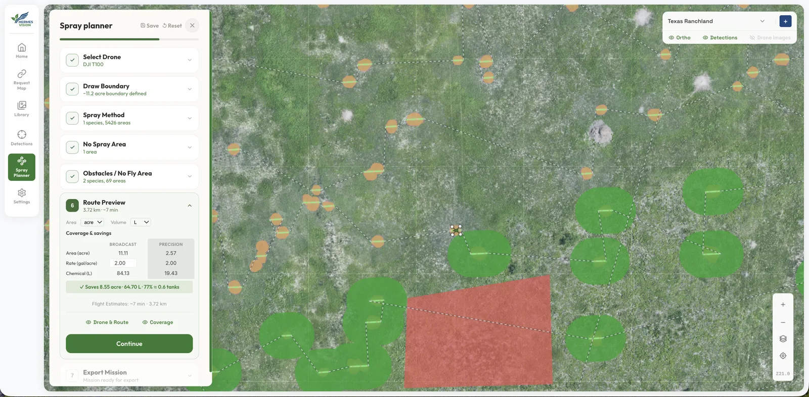
Precision targeting puts herbicide on the plants you choose to treat, not across the whole field.
Targeted application spares native grasses and desirable plants, leaving pasture for your cattle.
Spraying the plants you pick, rather than every acre, can stretch each load over more ground.
Hardware agnostic by design. Our intelligence runs on almost any imagery drone and spray rig you already own.
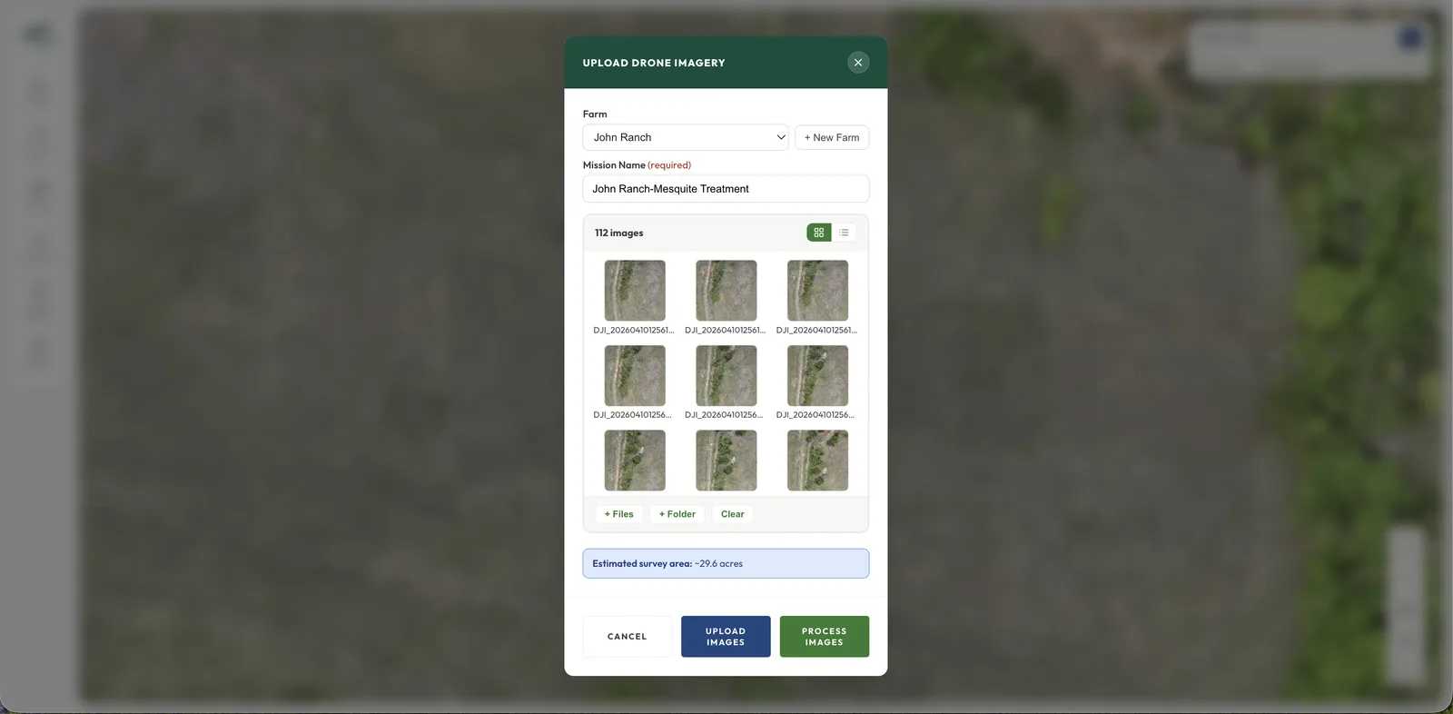
When you finish a boundary, we send its outline to USGS and our own server to read the land, and its center point to the U.S. Census Bureau to find the county.
Join the network of growers and operators maximizing their land's potential with Hermes Vision.
Choose rancher / landowner or farmer / grower to start your quote. Or draw your boundary on the map to start there.